 Coordinate
GIS
Coordinate
GIS
Geographic
Information Systems, Data
Analysis & Display, Global Positioning Systems, Mapping
& Consultations

|
|
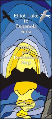
The |
|
|
|
|
|
|
|
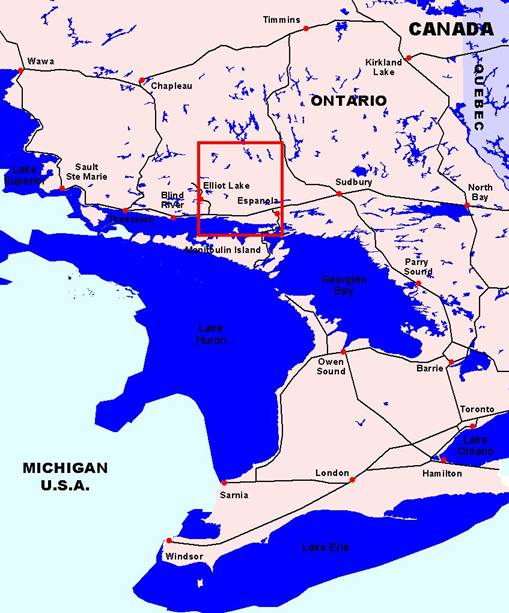
This map covers the region from |
|
|
Area
of Map |
|
|
|
|
|
|
|
|
|
|
|
|
|
|
|
|
|
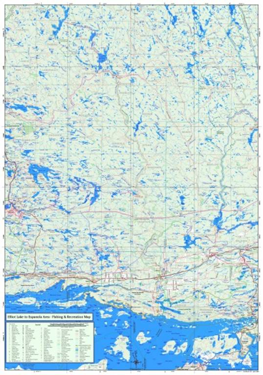
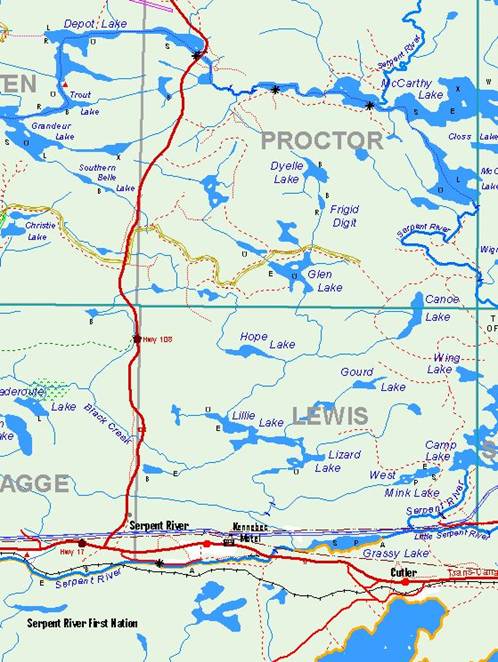
Map
Detail |
|
|
Showing highways, trails and railway, snowmobile trails, boat launches and fish species. |
|
|
|
|
|
|
|
|
|
|
|
|
Home Contact: Coordinate GIS Find us here via www.theMapLady.ca |