 Coordinate
GIS
Coordinate
GIS
Coordinate
GIS
| HOME |
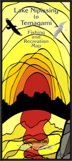
Lake Nipissing to Temagami - Fishing & Recreation Map |
| View back of map | Published in the spring of 2008 this map is the most up-to-date and detailed topographical map of the region. It covers an area from just south of Restoule and Powassan north to the town of Temagami. |
Ontario
Region covered by Map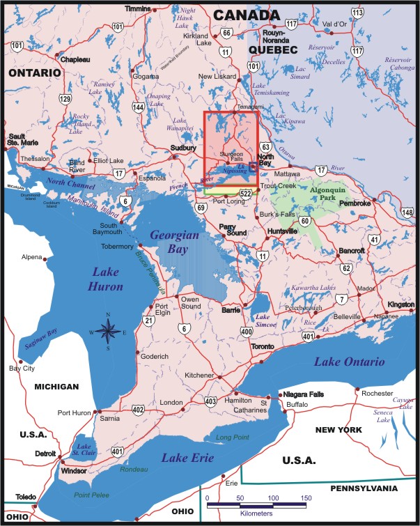 |
|
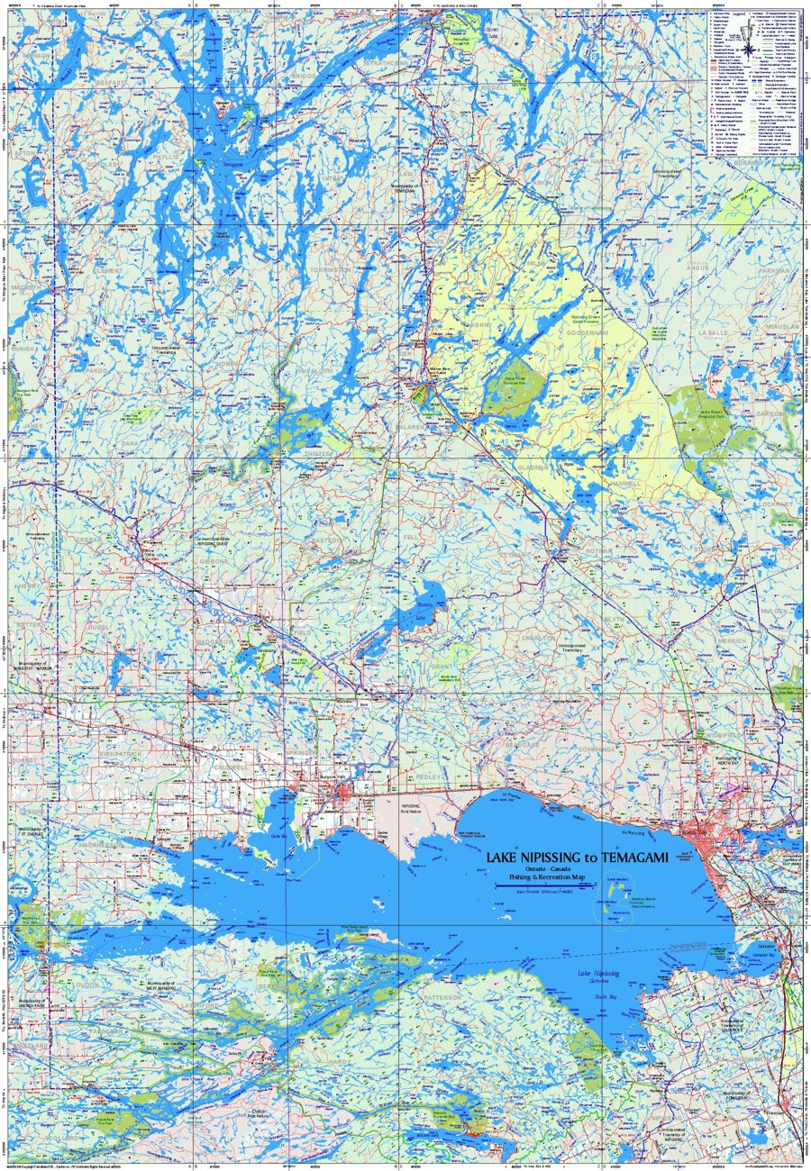
| The Lake Nipissing to Temagami - Fishing & Recreation Map 28 x 40 inches (contours are not shown here) - This image (28 x 42) includes the Restoule Area which is actually on the back of the map. Showing: Red Cedar Lake, Tomiko Lake, Lake Temagami (lower half), Restoule Lake, Obabika Lake, Rabbit Lake, Wicksteed Lake, Marten Lake, Muskosung Lake and many others. |
|
 |
|
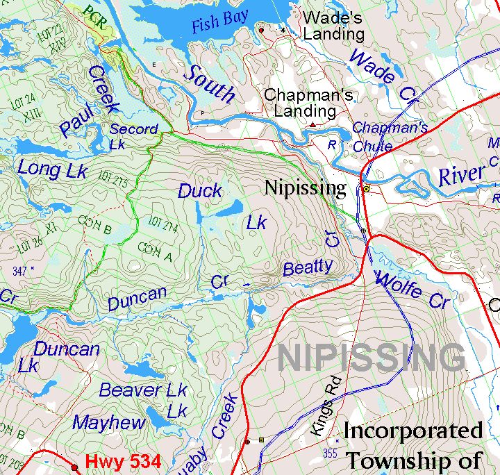
| Map Detail of the Town of Nipissing area showing
townships, lots, snowmobile trails, campground, museum, garbage dump, firehall, contours, roads, rivers and wetlands. |
|
 |
|
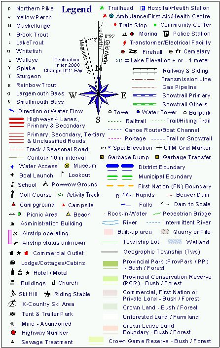
| Legend Items | |
 |
|
| View back of this map | |
| HOME Contact us at: info@CoordinateGIS.com | |
|
Find us here via www.CoordinateGIS.com
|
|
|
or via www.theMapLady.ca
|