 Coordinate
GIS
Coordinate
GIS
Geographic Information Systems, Data Analysis & Display, Global Positioning Systems, Mapping & Consultations
|
|
|
|
The |
|
|
|
|
|
|
|
|
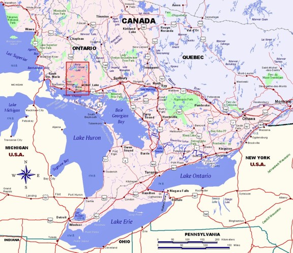
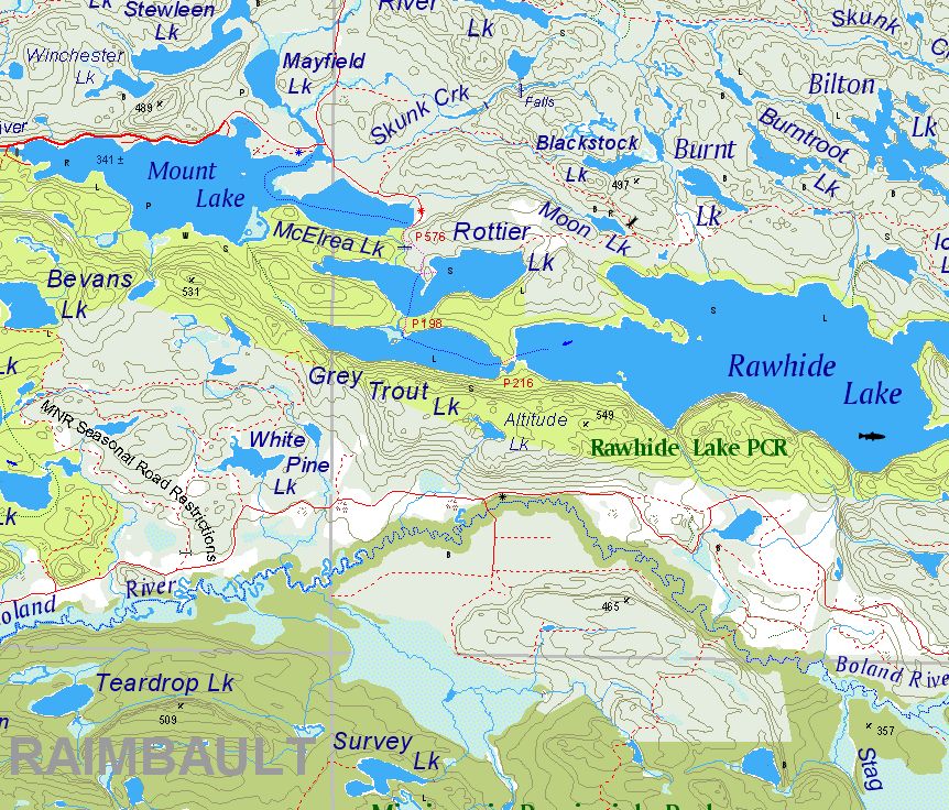
Edition 2 published
in February 2009 is the most up-to-date and most detailed map of
the region. It
covers the region from It
shows part of Hwy 129 at the top left by Aubrey Falls
Provincial Park. |
|
|
|
|
|
Ontario
Region covered by Map:
|
|
 |
|
|
|
|
| The Map UTM Coordinates as well as Latitude & Longitude |
|
|
|
|
|
|
|
|
|
|
|
|
|
|
|
|
|
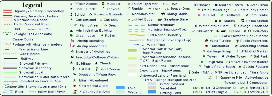
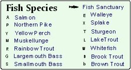
Map Legend Items |
|
Order Map Home Contact: Coordinate GIS
Find us here via www.theMapLady.ca