![]() Coordinate
GIS
Coordinate
GIS
Parry Sound - Huntsville to Port LoringFishing & Recreation Map |
|
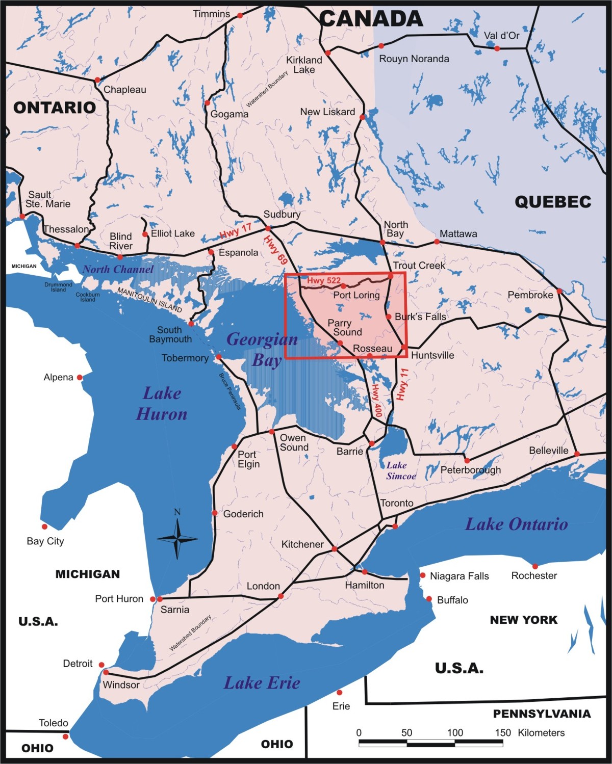
| HOME | Published in the fall of 2006 this map is the most up-to-date and detailed topographical map of the region. It covers an area from just south of Parry Sound and Huntsville north to Trout Creek in the east and the Pickerel River in the west. |
| View back of this map To Purchase this Map Contact Us Next Map » 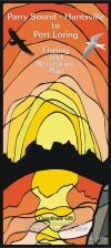 |
|
| Ontario Region covered by Map | |
 |
|
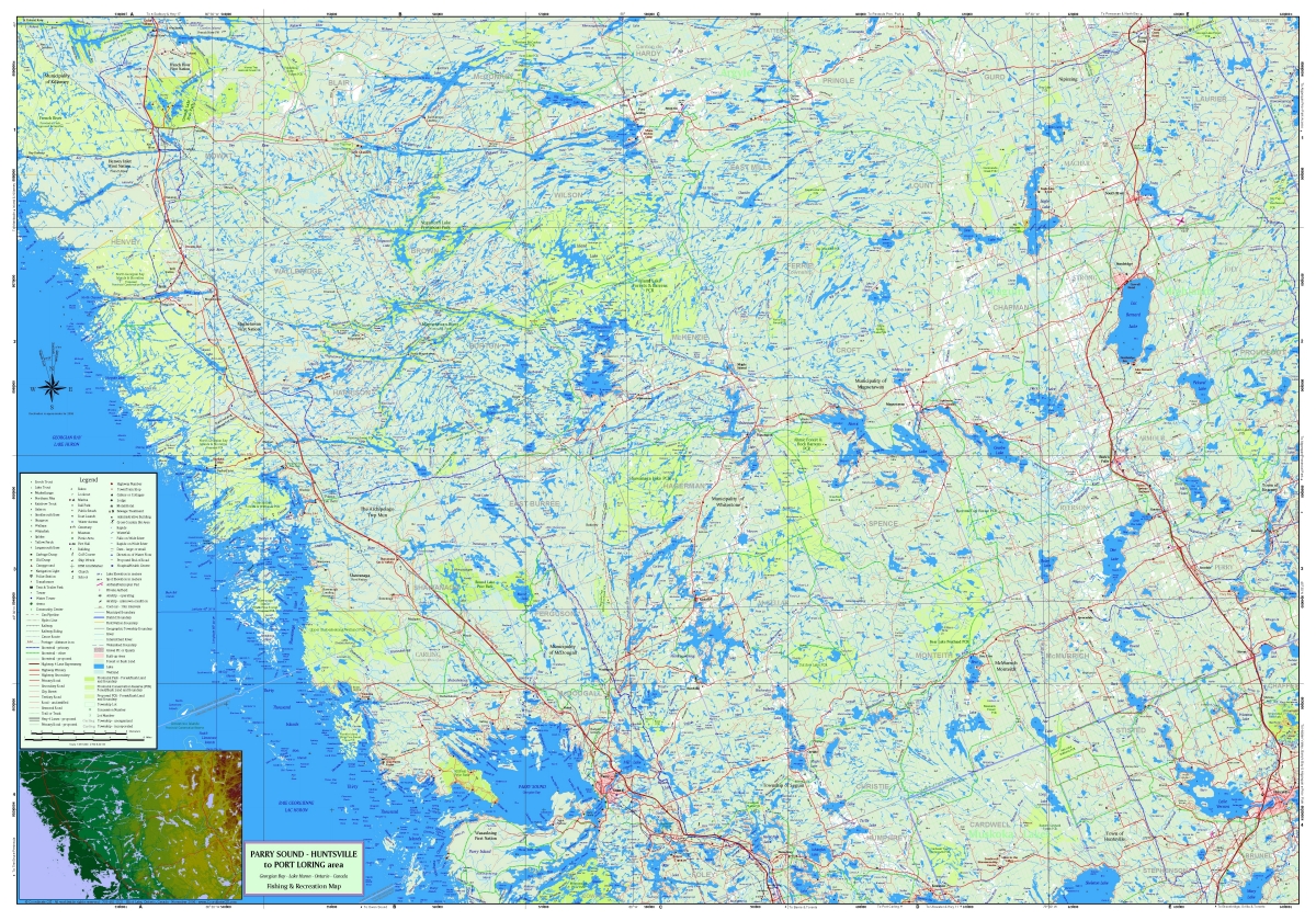
| The Map 28 x 40 inches (contours are not shown) |
|
 |
|
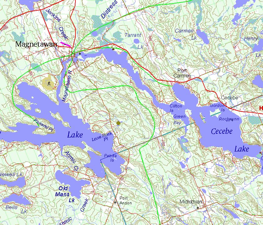
| Map Detail of the Town of Magnetawan area showing
townships, lots, snowmobile trails, golf course, airstrip, gravel pits, contours, roads, rivers and wetlands. |
|
 |
|
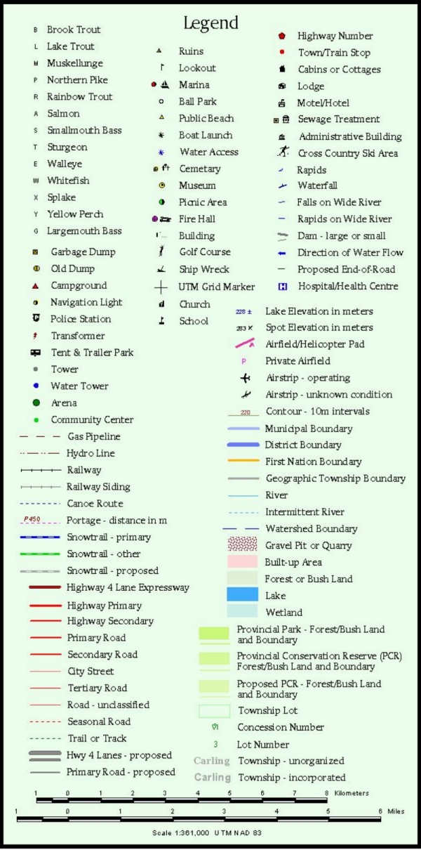
| Legend Items | |
 |
|
| HOME Contact us at: info@CoordinateGIS.com | |
|
Find us here via www.theMapLady.ca
|
|
|
Find us here via www.theMapLady.ca
|